What Bikini Atoll Looks Like Today
Sixty years after the nuclear tests, the groundwater is contaminated and the coconuts are radioactive. But are the coral reefs thriving?
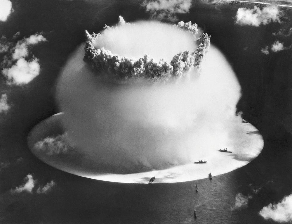
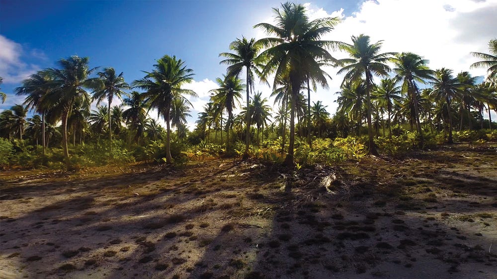
Nearly 60 years after the last of 23 nuclear explosions in its land, air and water, Bikini Atoll again looks like the idyllic Pacific paradise it was in 1946 — a bracelet of sandy, palm-covered islets encircling an azure lagoon. But it doesn’t take long to pick up on Bikini’s enduring eeriness, says Stanford biology professor Stephen Palumbi, who visited the remote atoll for a 10-day research trip featured in Big Pacific, a documentary that aired this summer on PBS.
At one point, Palumbi was boating around Bravo Crater, a mile-wide scar blasted into the lagoon by the most potent U.S. bomb ever detonated, when the navigation system began screaming a warning. The device thought they had run aground. The boat, Palumbi says, was in 160 feet of water.
It took a moment to realize the alarm wasn’t malfunctioning. The navigation system was simply relying on maps that haven’t been redrawn since before 1954, when a bomb 1,000 times more powerful than the one that dropped on Hiroshima vaporized three islands in the lagoon, including the one where the expedition crew was.
Using the navigation device, they then boated around the perimeter of the missing coral to estimate how much mass had been hurled heavenward. “It’s equivalent to 216 Empire State Buildings being blown into the sky,” Palumbi says. “These tests are the most violent thing we’ve ever done to the ocean.”

…click on the above link to read the rest of the article…